On August 26, 2026, shortly after 8:37 a.m., a slab of rock and glacier ice broke off the north face of Langtang Lirung, a 7,227-meter peak in Nepal's Rasuwa district near the Chinese border. The front of the flow it became averaged about 190 kilometers per hour over its first 22 kilometers. Nepal's flood forecasting division sent text alerts to some 679,000 people 38 minutes after the collapse; Timure, the settlement nearest the border, had less warning time than anywhere downstream and went under. By September 12, 1,429 people were confirmed dead across Nepal and Tibet and 5,649 were still missing. Nepal's national planning commission and its disaster authority put the rebuilding bill at US$4.73 billion.
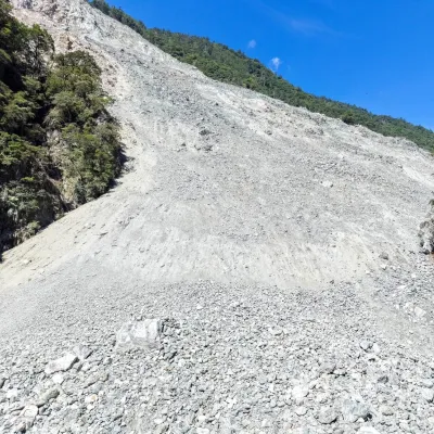
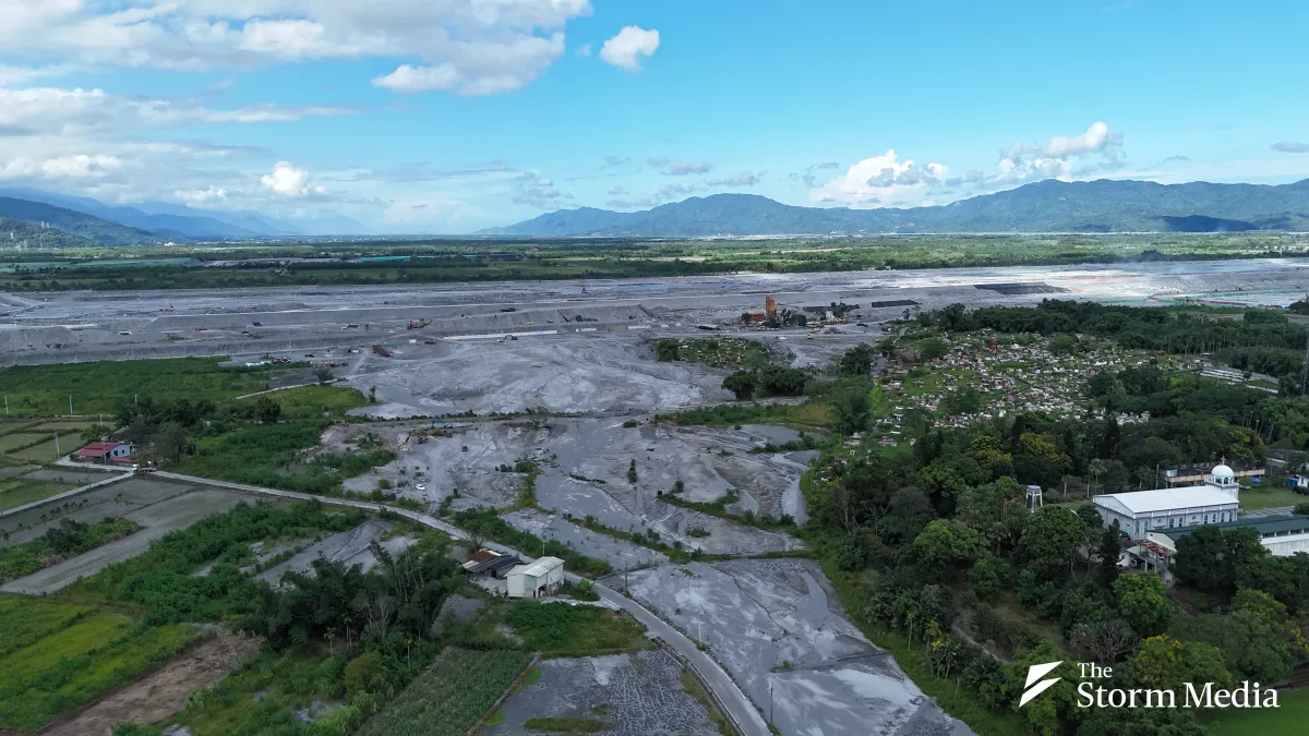
Eastern Taiwan saw its own version coming for two months, and it was not enough. A landslide dammed Matai'an Creek above Hualien County on July 25, 2025; Taiwan's forestry agency flew 17 surveys over the lake that formed, and 8,524 people were ordered out before it failed on September 23. Nineteen people died and five are still missing. Of the first 14 victims identified, 13 were over 60, most drowned on the ground floors of their own homes, and every one of them was inside the evacuation zone. A year on, Storm Media returns to Guangfu, where the mud is gone, the volunteers have left, and the decisions that will shape the town are only now being made. This is Part 1 of a three-part series.
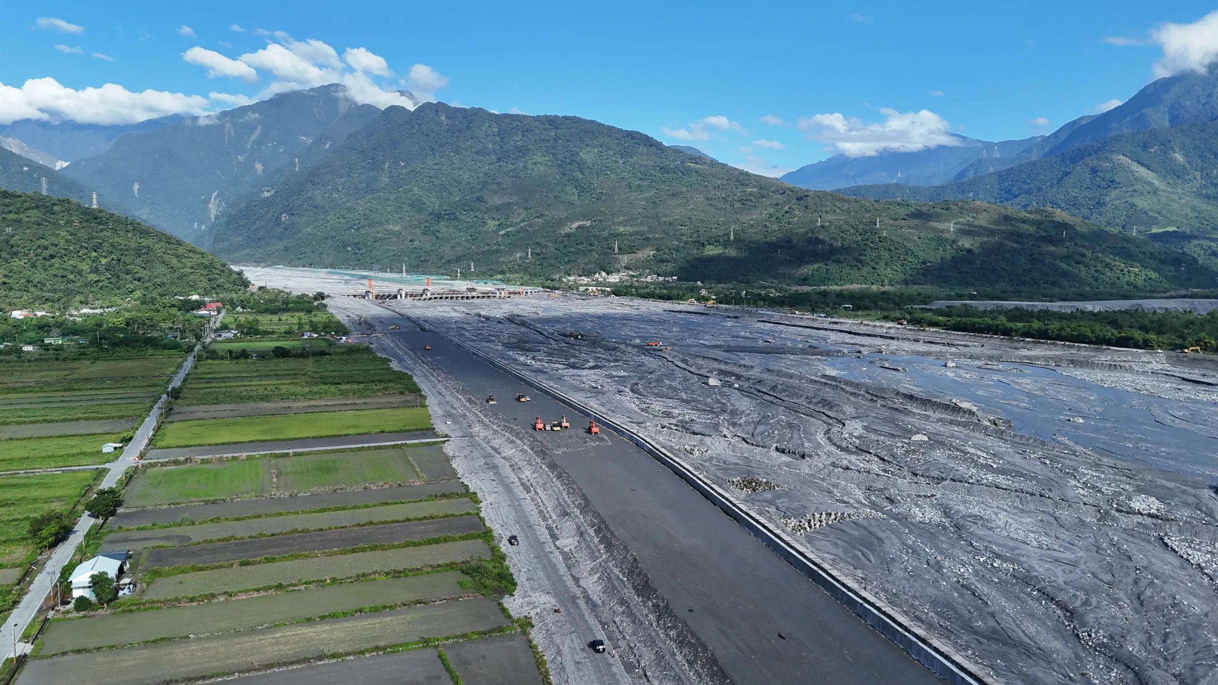
Taiwan's government has drawn acquisition lines around more than 200 hectares of land in Guangfu, a township in eastern Taiwan buried by a landslide-dam flood a year ago, to build flood walls, dump dredged sediment and plant a 141-hectare forest. Residents whose fields and houses fall inside those lines, including Indigenous communities along Matai'an Creek, say they learned where the boundaries ran only after they had been drawn.
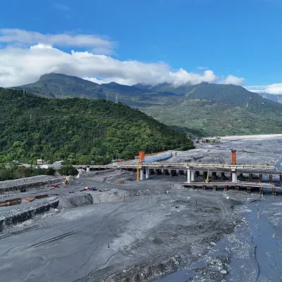
Taiwan's Cabinet, the Executive Yuan, set aside NT$27 billion (about US$850 million) for reconstruction last November. By July, NT$7.6 billion had been spent — 29.82%. Most of the visible progress sits in one place: two contracts worth more than NT$2 billion for a "second line of defense" levee on the south bank, the side where more than 10,000 people live. The first is meant to be finished before next year's typhoon season.
The urgency is upstream. Taiwan's Forestry and Nature Conservation Agency, through its Hualien branch, puts the material still sitting in the remnant dam, the collapse deposit on the left bank of the old overflow outlet and the channel itself at about 236 million cubic meters. The creek bed is now higher than the land beside it — what Taiwanese engineers call a perched river. Two consecutive typhoons, Taiwan's Water Resources Agency has warned, could raise the channel another 10 meters.
The Agency Is Building Before It Buys
Lin Yuan-peng, director-general of Taiwan's Water Resources Agency, said the agency will publish the river management line under Article 82 of Taiwan's Water Act and try to buy the land inside it by negotiation. "Expropriation only follows if negotiation fails," he said, putting acquisition at late this year or early next.
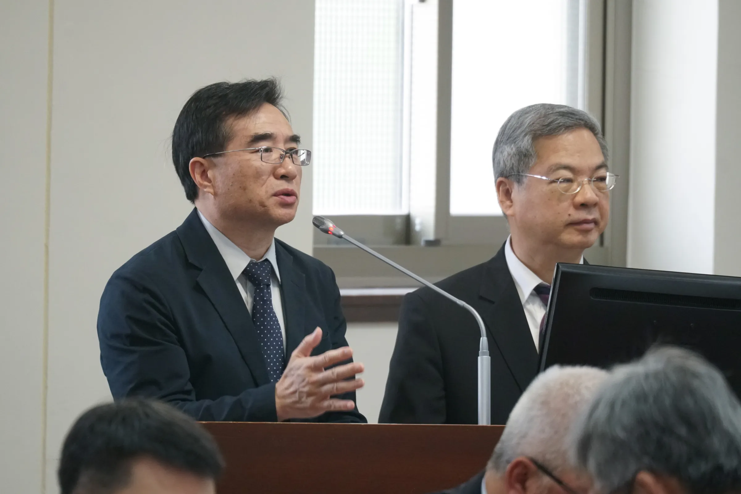
Construction will not wait for either. The agency has asked Taiwan's Ministry of the Interior to invoke Article 58 of the Land Expropriation Act, which allows the state to use land immediately where delay would seriously harm the public interest. Owners receive an annual payment of 10% of the officially assessed land value while their land is in use. In Guangfu, that assessed value is NT$440 per square meter.
Farmers Asked for Land Swaps and Were Refused
The friction began before the lines were public. In late May, the agency's Ninth River Management Office notified landowners it would acquire property within 700 meters of the planned levee. At the first public hearing, held at Guangfu Elementary School, Hualien County Farmers' Association chairman Lu Lu-chun argued that the agency was relying on the Water Act to compel acquisition inside a designated flood zone, and should instead work with other ministries to offer land-for-land exchanges. The association's general manager, Wu Kun-ju, said farmers had not been notified of the hearing at all and that the agency sent only a section chief.
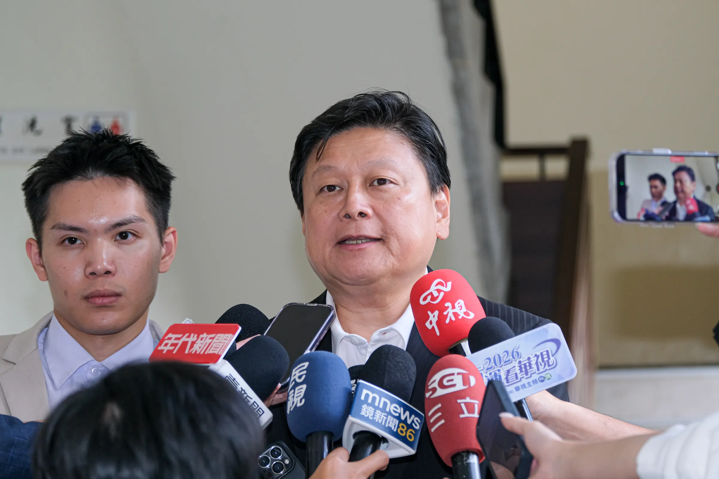
Fu Kun-chi, a legislator for Taiwan's opposition Kuomintang and Hualien's most powerful politician, took up the same demand on June 29. "The government cannot just plant a flag and take the land," he said.
The river office's answer was that all land under its jurisdiction is designated for water use, so it has nothing to swap. Taiwan's Ministry of Economic Affairs has since asked the National Property Administration and the state-owned Taiwan Sugar Corporation to publish their rental listings so local residents can lease public plots first.
The footprint keeps growing. In February the agency requisitioned nearly 50 hectares in Guangfu simply to store excavated material. Widening the north-bank management line by a further 740 meters would require roughly 340 hectares more for sediment storage, and a longer-term "room for the river" study commissioned from a private engineering consultancy could expand it again.
Namoh Nofu Says the Lines Follow Policy, Not Risk
The reforestation plan has drawn the sharpest objections. Taiwan's agriculture ministry classified land buried under more than 50 centimeters of sediment as a severely damaged farming zone, and that threshold became the basis for converting fields into forest, detention basins and memorial parkland.
Namoh Nofu, a representative of the Matai'an Watershed Indigenous Youth Alliance, wrote in a commentary for the Taiwanese outlet Taro News that the standard does not carry the weight the government is placing on it. "Sediment depth can only prove that land was damaged," he wrote. "It does not automatically prove that the state has an administrative necessity to acquire that land permanently. Severely damaged, hard to farm, and must be expropriated are three different things."
He also argues the boundaries do not track the sediment. The parcel containing Bao'an Temple was left off the reforestation register while neighboring parcels were included — and the temple now sits at the center of a planned memorial plaza. An earlier session of the government's reconstruction coordination meetings asked officials to assess whether the Hualien Environmental Science and Technology Park could serve as a controlled overflow and sediment storage area. It was not included, and the hydraulic analysis behind that decision has not been released.
"I simply cannot understand how the government decides which land is zoned for reforestation and acquisition, which is reassigned to levee works, and which can be excluded," he wrote.
A Meeting That Ended Before the Villages Spoke
Chen Chin-te, a minister without portfolio in Taiwan's Cabinet who chairs the reconstruction coordination meetings, announced the 141-hectare forestry plan at the ninth such session last month. The Taiwan Association for Human Rights and a coalition of watershed groups raised two items there: the designation of additional Indigenous reserve land, and whether demolition of the Xiangcao Chang settlement is necessary at all. Chen said new reserve land would be compensated on the same basis as private property and instructed the water agency to review the settlement on site with the community. The meeting then closed without calling on the tribal representatives to speak.
It was not the first time. When Taiwan's premier, Cho Jung-tai, visited the disaster zone on May 29, alliance members trying to hand him a petition were blocked by his security detail; an independent Hualien county councilor passed it on for them.
Under Taiwan's Indigenous Peoples Basic Act, projects involving Indigenous land require consultation and consent, not notification. The alliance's position is that briefing sessions and one-on-one canvassing do not meet that standard, and that risk assessment, household-level surveys and resettlement planning should come before construction rather than after.
The Transitional Houses Have a Two-Year Limit
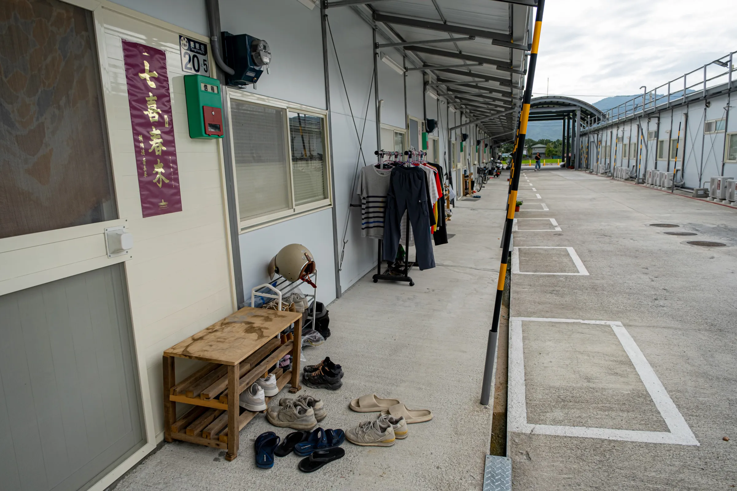
Twenty-three households, 65 people, now live in prefabricated units behind the old sugar refinery, placed there under a policy of moving survivors away from the hazard without moving them out of their village. Rent is waived. Water runs about NT$700 a month, and residents keep the air conditioning off to hold down the power bill. The units are meant to last two years.
Ba A-mei and her husband Chen Chun-lung watched the water take the roof off their house in Atomo from a relative's second floor. She grew daylilies and he farmed; together they worked close to a hectare. The land is under silt, some of it now inside a construction or storage zone. He has rheumatoid arthritis and takes casual work when it comes. She describes their situation as going wherever someone calls.
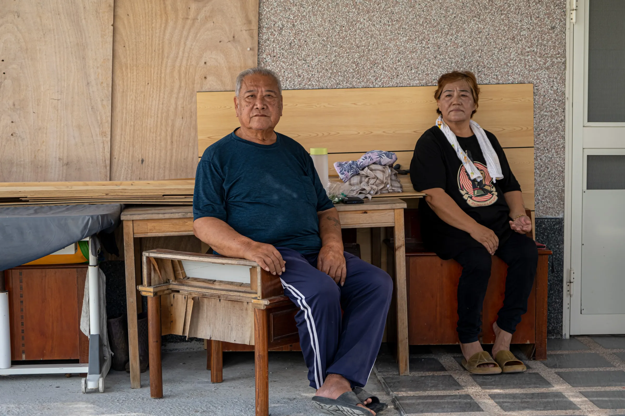
On free days they go back and clear a little more mud from the half-ruined house. "You get used to it because you have to," she said. "However bad your own home is, it's still your own home."
What they are waiting for is not a compensation figure. It is whether the old house can be repaired, whether the site is safe, how long the transitional unit lasts, what the land is worth if it is taken, and whether anywhere they could afford afterward would still be in the village. (Related: Taiwan's Landslide Dam, One Year On 2 | The Sediment Still Hanging Above the Town | Latest )
One official, speaking on condition of anonymity, said Taiwan's central government has yet to build a cross-ministry mechanism for the reconstruction, and that raising the south bank mainly pushes sediment toward the unpopulated north. Dredging, he said, is not keeping pace with the collapses upstream. "Matai'an could have become a model for rebuilding after a compound disaster."